A Drive to the Far North of Ambergris Caye and Robles Point
About twice a year, I join Jeff for a bumpy slow ride up to what I call Far North of Ambergris Caye. To the first spot where our barrier reef meets the land – it’s called Robles Point.
Our reef hits the land twice up there – Robles Point and then a few miles north at Rocky Point. Between the two areas, the land is basically reef-locked.
(I just asked Jeff if you could get in up there (between Robles and Rocky Point) and he said: On the calmest of days, ideally with someone else’s boat. Once you head in thru the reef, there is no turning around)
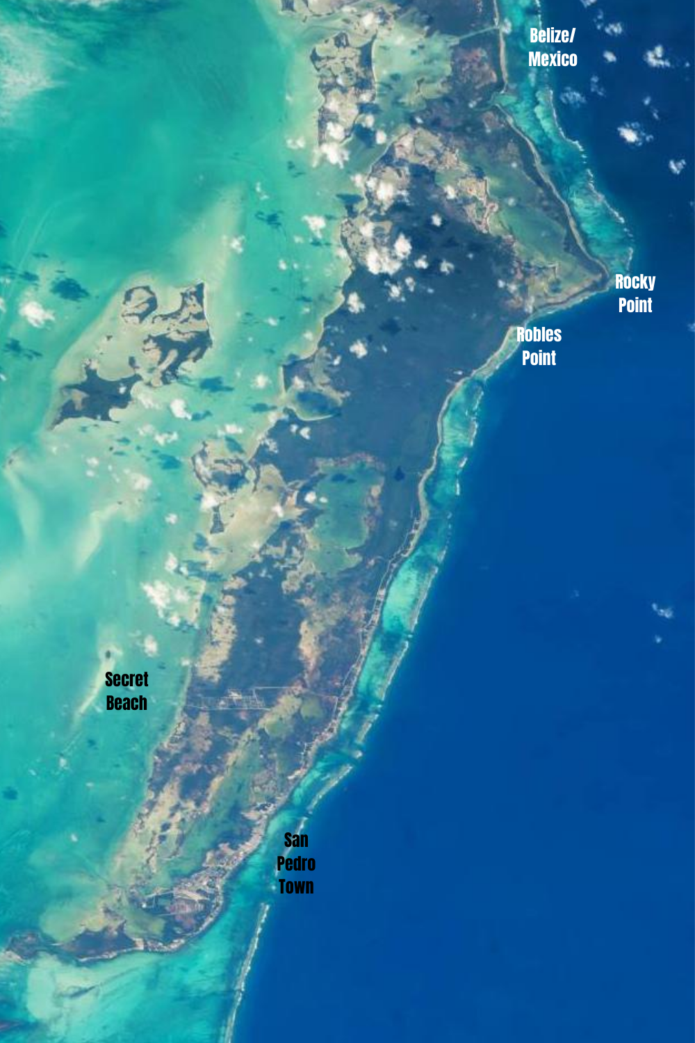
Here’s a satellite view of the island that I’ve labeled a bit. It is not nearly precise – I’d be an awful cartographer – but it will give you a sense of the size and scope of Ambergris Caye.
The island is about 25 miles in length. From the center of San Pedro town (Central Park) to Robles Point is about 15 miles. The width of the island (at Secret Beach) is about 3 miles.
Enough with stats and measurements – let’s get to photos!
(Here’s my last trip in February 2019!)
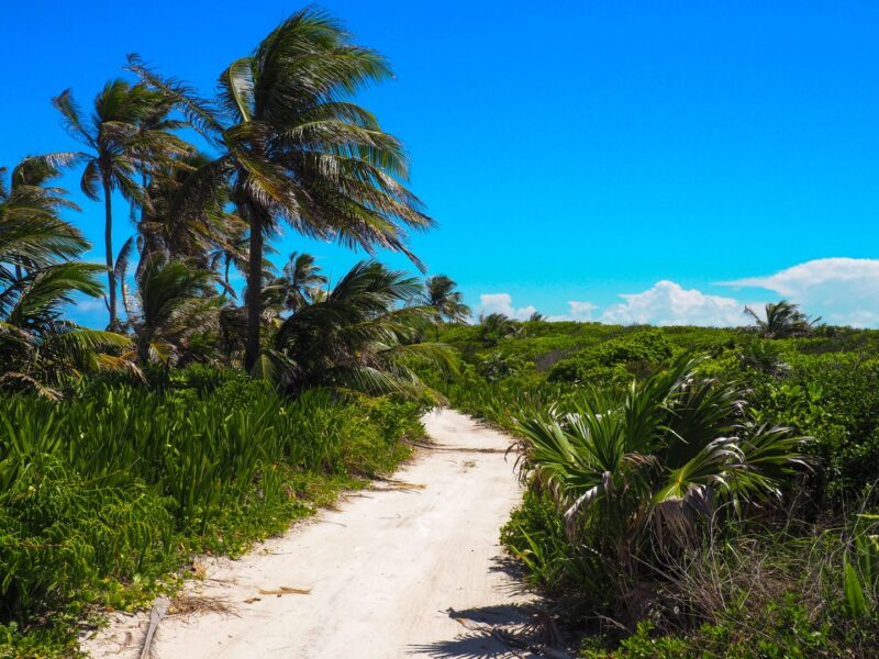
We started our drive at our house – at about 7.5 miles north of town and we got to Robles in less than an hour. If you are making the drive, be prepared to GO SLOW! Much of the way you are driving on a bumpy beach road…sometimes stopping to move a fallen coconut limb…you’ll want to go slow.
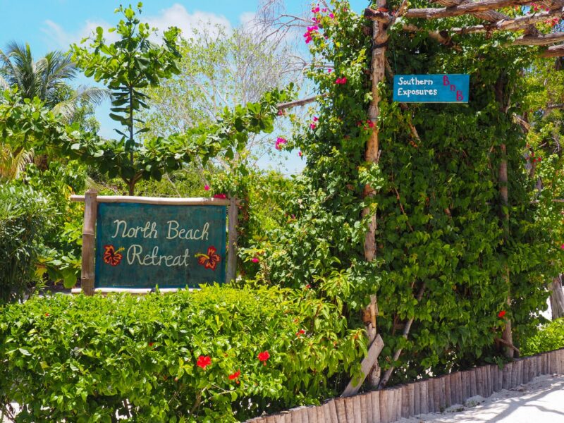
At about Mile 10. The entrance to North Beach Retreat – a fairly new place. I’ll have to check it out one day!
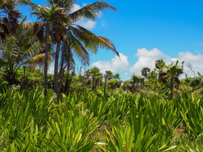
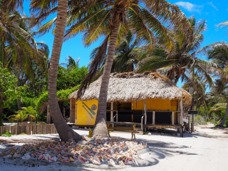
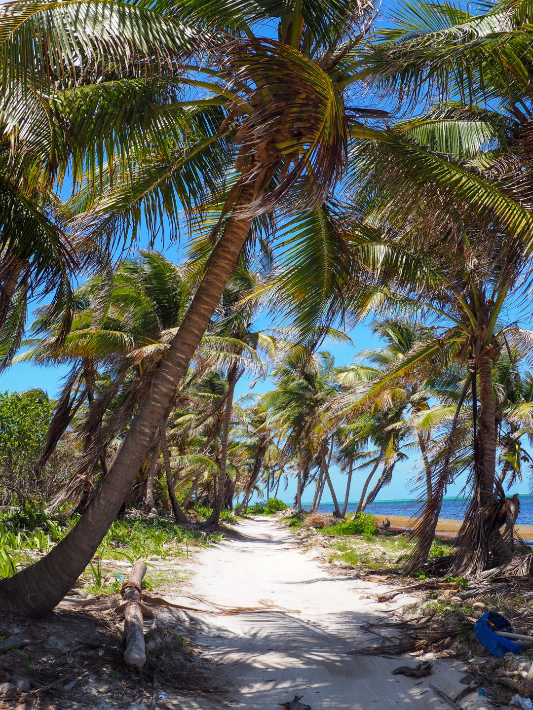
I LOOOOVE how much undeveloped land there is up here. Beautiful beachfront littoral forest – right now blooming with spider lilies.
Robles actually means “oaks” in Spanish. So you are headed into the jungle of Ambergris Caye.
I’m going to post photos as I go – from South to North.
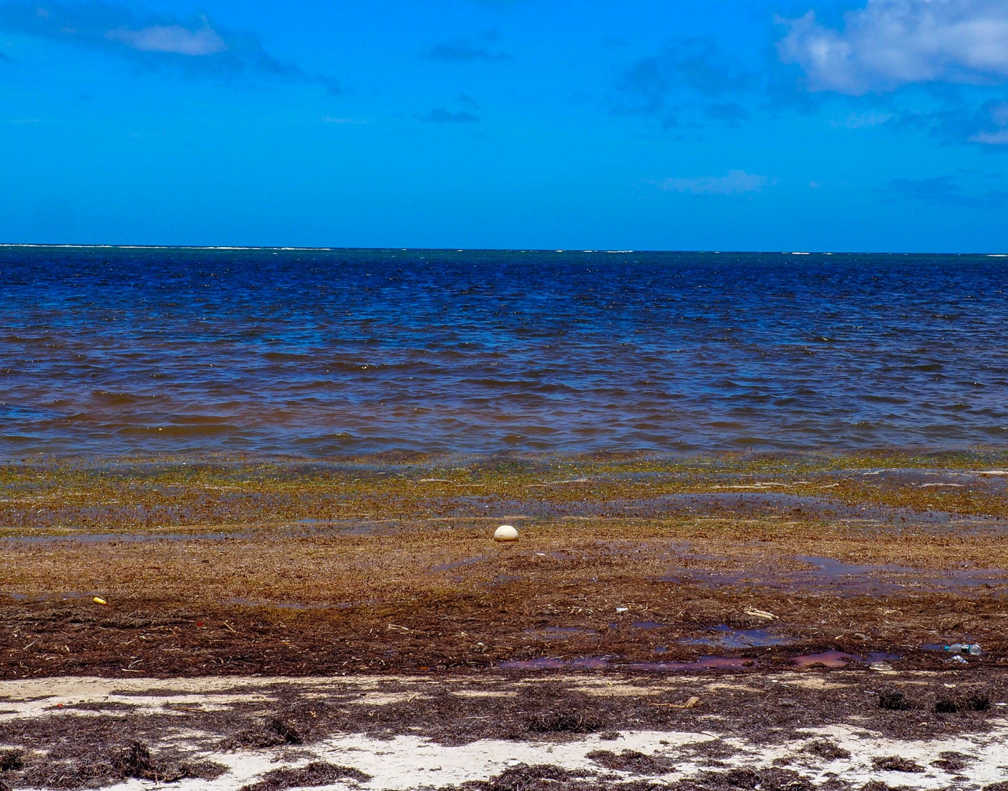
I’m going to try not to talk too much about the seaweed/sargassum. It came in about 2 weeks ago after a blissful clear-from-seaweed 2020 and while the influx has slowed considerably, it’s sitting on the shore.
Jeff and I were joking about what would make us wade into the mush…a bale of money? A bale of something else? For me…it was a nice buoy. I said I’d do it for a buoy and then about a mile later? I had to put my money where my mouth was…
Sigh. OF COURSE It was in one of the gooeyist sections of sea.
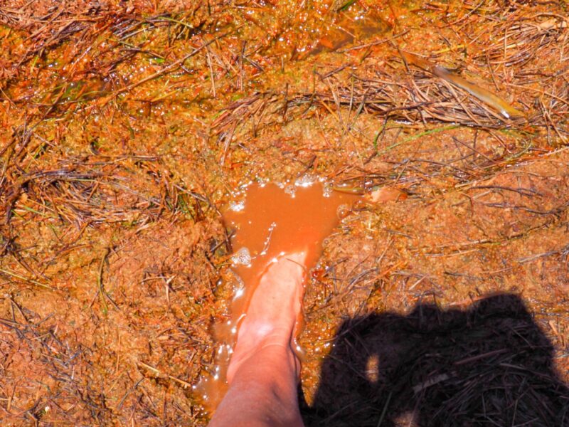
Secured to the golf cart, we continued on…
We passed the old El Secreto…once luxury resort, now closed. (Here is a more extensive look around when it first closed)
I just love some of these road views.
A look down the road to the Ambergris Caye International Airport – touted by politicians, believed in by few.
A few years back I wrote: An International Airport on Ambergris Caye? Really…Who Does this Benefit?
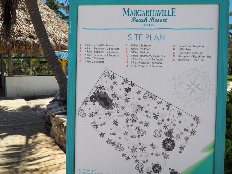
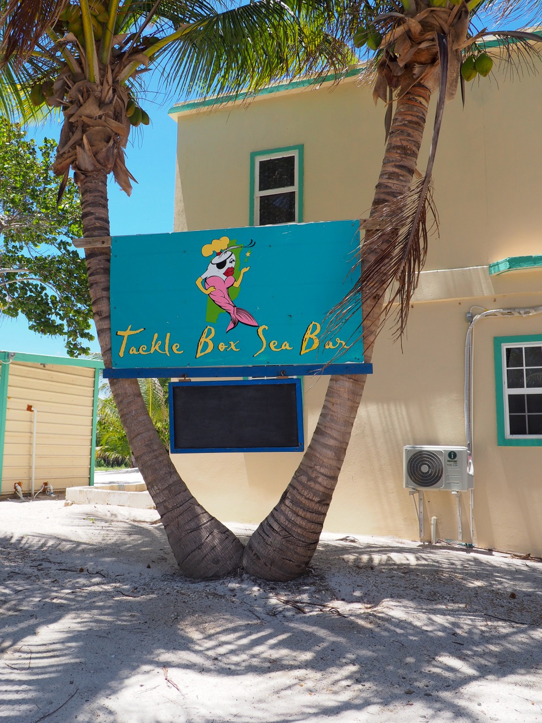
Next up, the old Sueno Del Mar – now…Margaritaville.
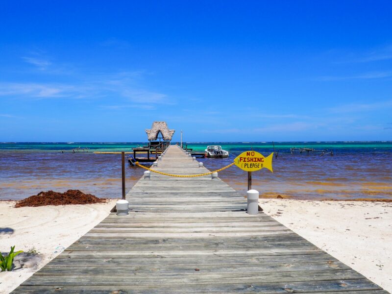 The beach had been raked and cleaned but we didn’t see anyone up there.
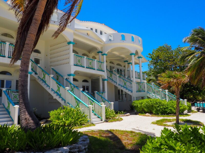
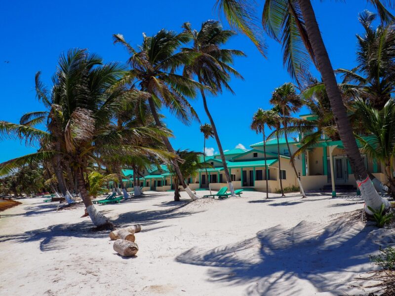
It’s a HUGE property.
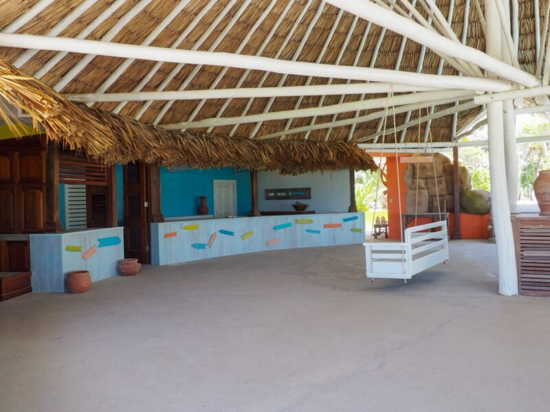
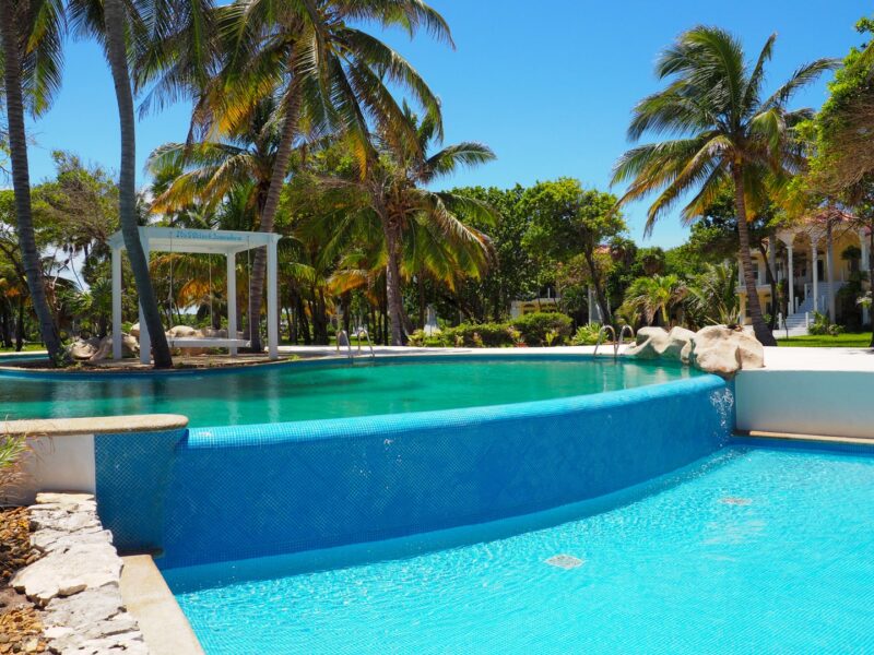
This is the front building and the one that seems ready right now.
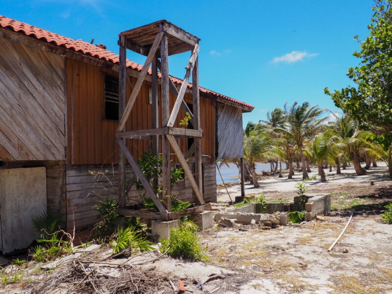
The next “home” – that’s been here FOREVER…someone is clearing the property.
Camp Basil Jones…no camp this year. (I slept in a tent for camp in 2016…)
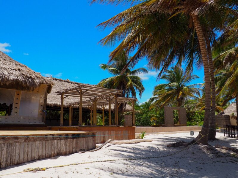
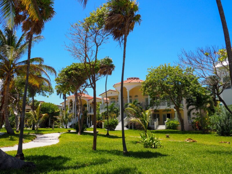
 And then Tranquility Bay Resort – which was sold about 2 years ago. They have done quite a bit of work to the cottages – new roofing, new ACs…
The bar and restaurant.
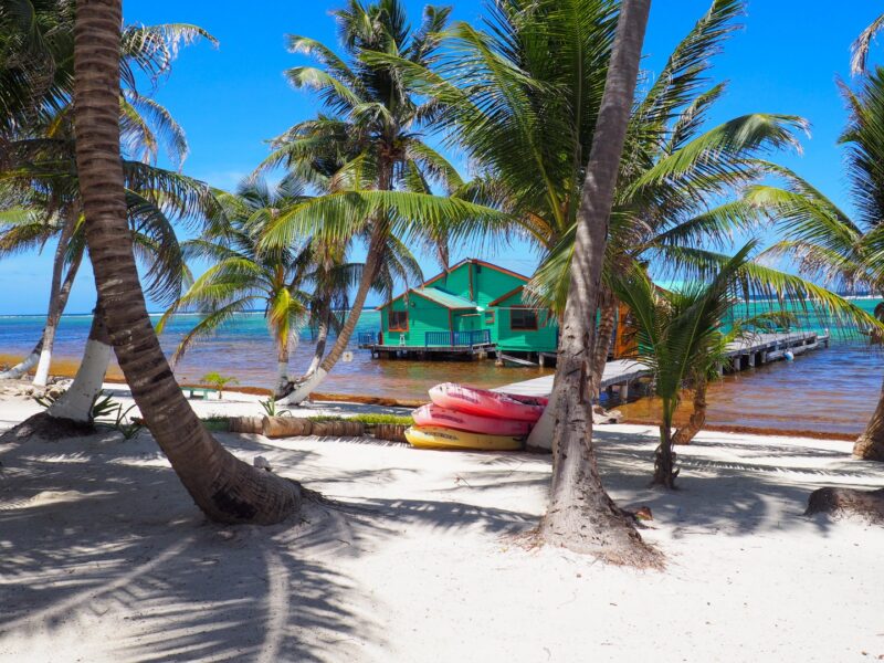
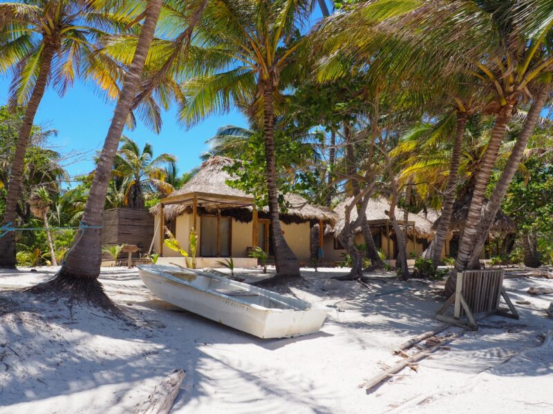
And a look at the cabanas.
Here’s a look in 2015 – this place is GORGEOUS and so close to the reef!
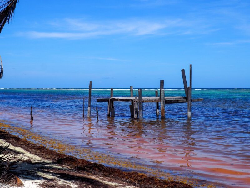
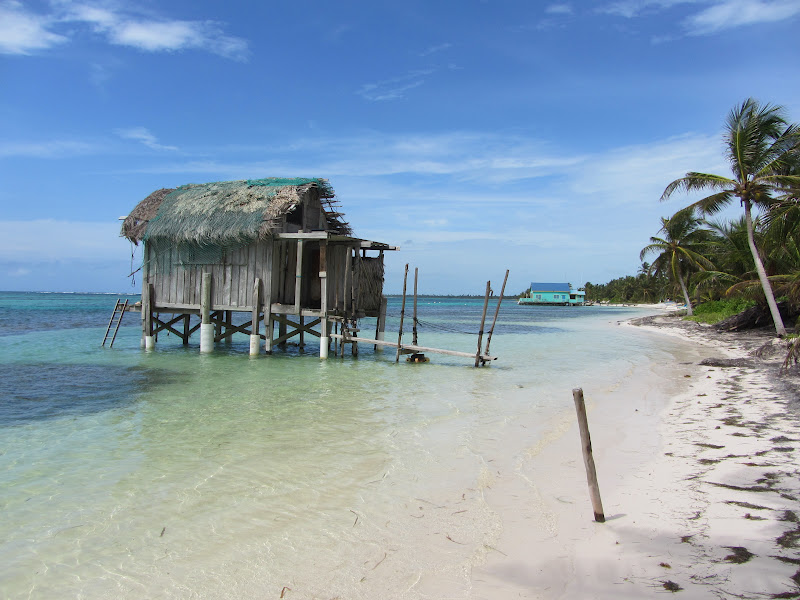
Just a few lots north – the remnants of one of the coolest lodging spots Ambergris Caye has ever seen. You could rent a beach shack over the water. Who remembers Turtleman’s House!
Here’s an AMAZING aerial photo from 2008. And then mine from 2012. Can you picture anything more romantic!
Sadly Hurricane Earl got her.
Let’s keep going!!!!!!!!!!!
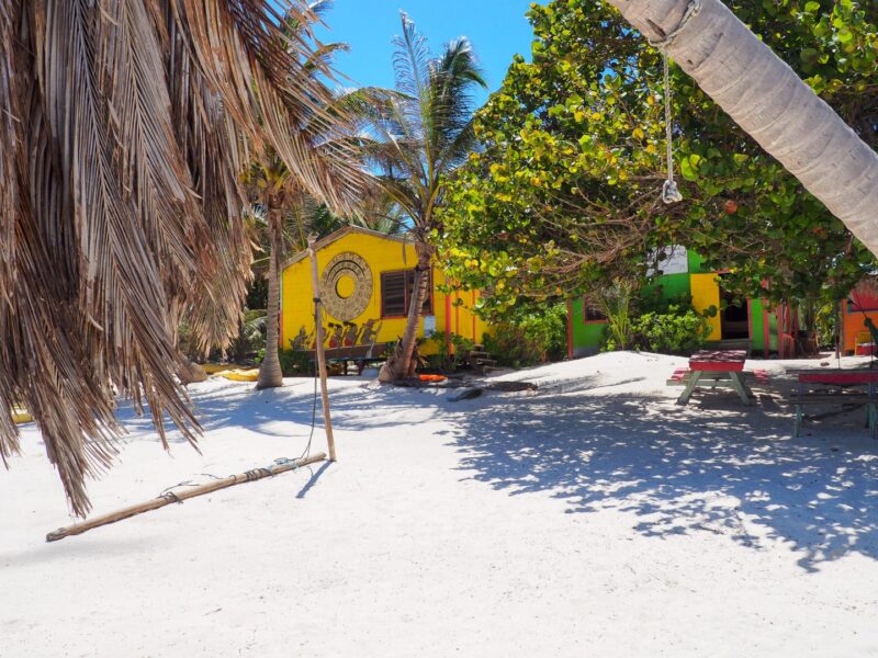
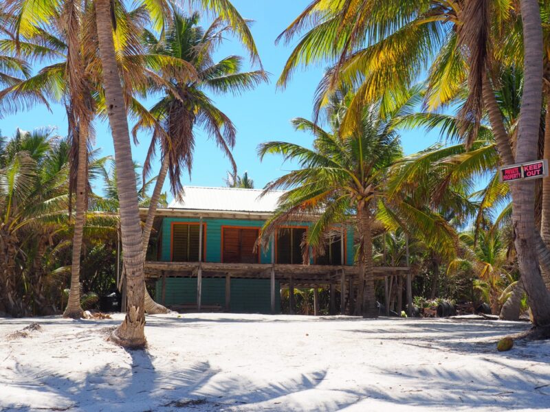
Beautiful beach cottage…
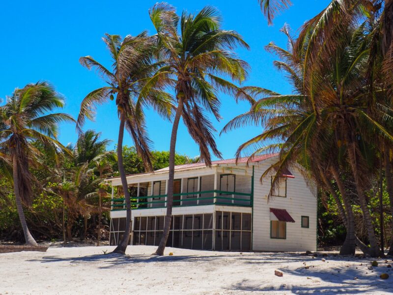
And another.
And as we got closer to Robles a LONG stretch of burned trees. I wonder when this happened!
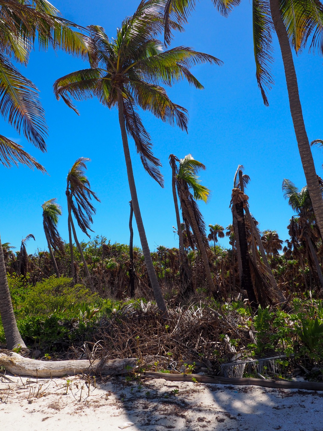
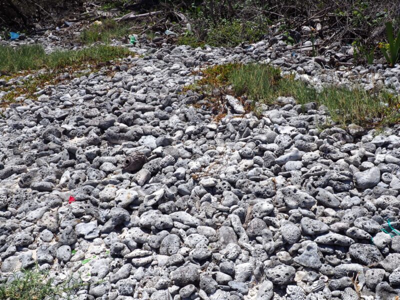
It is SO cool to see the reef meet the land…in a huge coral graveyard.
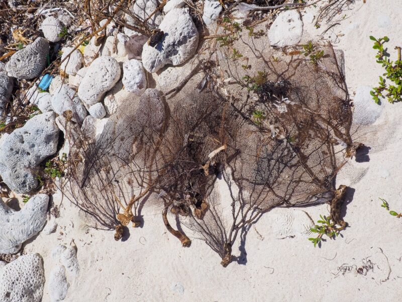
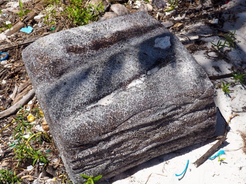
And more. Does anyone know what these are? About 3 feet in width…and spongy…like firm foam. I’ve seen 2 or 3 on the northern beach this year.
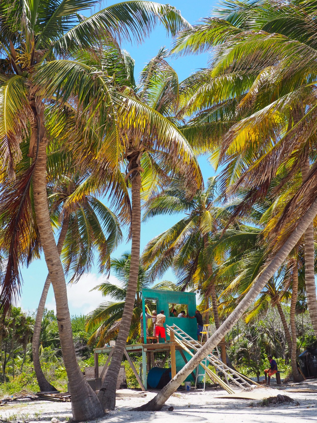
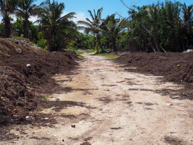
To head farther north, you are going to want an EPIC amount of bug spray…and a very sturdy cart. The road goes inland…and WOOF. The bugs can be fierce this time of year.
I leave that to the more adventurous. My favorite way to head farther north and then thru the cut between Mexico and Belize is with super guide Panny. GORGEOUS and so much fun.
Phew…that was ALOT of pictures. I’ll leave it there.
Have a great weekend!
Posted in: